Information Systems
GIS
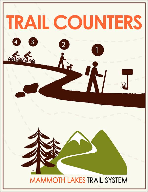
The MLTS Geographic Information Systems (GIS) track the locations and statuses of all trails, signs, and recreation facilities. The trail counters use an infrared beam to measure hiker and biker use across the trail system. Together, the GIS and trail counters showcase a well-loved and growing trail system.
Trail Counters
The MLTS Geographic Information Systems (GIS) track the locations and statuses of all trails, signs, and recreation facilities. The trail counters use an infrared beam to measure hiker and biker use across the trail system. Together, the GIS and trail counters showcase a well-loved and growing trail system.
Mono County Recreation Access Tool (MCRAT) - 2011
Modeled after MLTPA's 2006 GIS Inventory Contract with the Town of Mammoth Lakes, MCRAT was initiated by MLTPA and Friends of the Inyo (FOI) to create a comprehensive inventory of outdoor-recreation access points within the county boundaries.
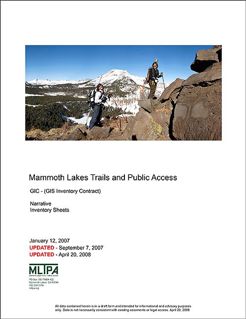
MLTPA GIS Inventory Contract (MLTPA GIC) - 2006
The MLTPA GIC has provided critical baseline data for the 2009 Trail System Master Plan update and has proved to be an invaluable tool in the assessment of development projects and other planning efforts in Mammoth Lakes.
MLTPA GIC Large File Downloads - 2006
Seven large files that relate to the MLTPA GIC are available for download via FTP. You will need a user name and password to access the FTP. And we're not kidding with the fancy bold text: some of these files are quite large.
Last Updated January 19, 2024