Hard Surface Multi-Use Pathways (MUPs)

The Mammoth Lakes Trail System features a network of hard-surface multi-use pathways, or MUPs, including the Town Loop, Lakes Basin Path, Shady Rest Path, and various connector paths. The MUP system includes over 16 miles of paved multi-use recreational paths, and offers great opportunities for recreation within town and provides links to soft surface trails and destinations in the Lakes Basin, the Sherwins, and Shady Rest Park.
The Town of Mammoth Lakes holds a Special Use Permit from the U.S. Forest Service for the MUPs, including "... (1) Segments 1, 2 and 3 of the Mammoth Lakes Bike Trail System; (2) The Meridian Trail Segment; (3) The Mammoth Creek Park Segment II; (4) The Shady Rest Trail Segment; (5) The Visitor Center Segment; (6) The Mammoth Creek Park Trail Segment; and (7) The Lake Mary Road Segment." The Special Use Permit expires on December 31, 2036, and can be downloaded below.
Multi-Use Pathways of the Mammoth Lakes Trail System
The Mammoth Lakes Trail System includes an extensive network of multi-use pathways, or MUPs, offering residents and visitors access to breathtaking viewpoints, unique natural environments, and immersive wilderness adventures.

Town Loop
The main hub of the Mammoth Lakes Trail System, the Town Loop -- made up of multi-use path, on-street sections, promenades and bridges -- provides a family-friendly tour of town with access to a variety of outbound trails and staging areas.
Lakes Basin Path
This 5.3-mile paved multi-use path connects the North Village to Horseshoe Lake and passes many popular Mammoth Lakes destinations, such as Twin Lakes Vista, Tamarack Lodge, Lake Mamie, and Horseshoe Lake, along the way. It may be accessed at many points via the Lakes Basin Trolley.
Lake George Path
The Lake George Path provides access to the intersection of Lake Mamie, Lake Mary and the base of Lake George Road. This short 1/3-mile Pathway travels from the Lakes Basin Path between Lake Mary and Lake Mamie.
Shady Rest Path
With connections to the Town Loop at Highway 203, the Old Shady Rest and New Shady Rest campgrounds and the Mammoth Lakes Welcome Center, this two-lane path meanders gently downhill through a forest of red fir and Jeffrey pine to the ball fields, playground and picnic area at Shady Rest Town Park.
Library College Connector
One of the newest additions to the Mammoth Lakes multi-use path system, especially popular with students commuting to town or to the Volcom Brothers skatepark, the Library College Connector is a smooth paved path that runs between the Town Library on Meridian Boulevard and the Town Loop Path.
Meridian Connector
This paved multi-use path originates at the corner of Meridian Boulevard and Sierra Park Road. Head east to reach its junction with the Town Loop, passing along the way the elementary, middle and high schools, or travel a bit farther to hit Trails End Park.
Main Street Connector
Beginning on the north side of Main Street at the Mammoth Lakes Welcome Center and Ranger Station, the Main Street Connector links to both the Town Loop via the Highway 203 Tunnel, and to Shady Rest Path, which heads north and delivers users to Shady Rest Park.
USFS Special Use Permit for MLTS Multi-Use Pathways
The Town of Mammoth Lakes is hereby authorized to use or occupy National Forest System Lands for the purpose of operating and maintaining an approximately 9.5 mile, 12 foot wide public bike trail as described in the location maps attached to this permit.
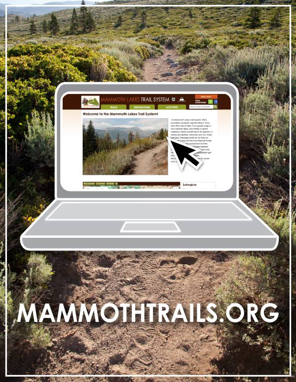
THE MAMMOTH LAKES TRAIL SYSTEM WEBSITE
The Mammoth Lakes Trail System offers boundless recreation opportunities on more than 300 miles of trails. Managed jointly by the Town of Mammoth Lakes and the Inyo National Forest, the system includes connections to 3 wilderness areas, Devils Postpile National Monument, the PCT, and more.
Last updated January 23, 2024