
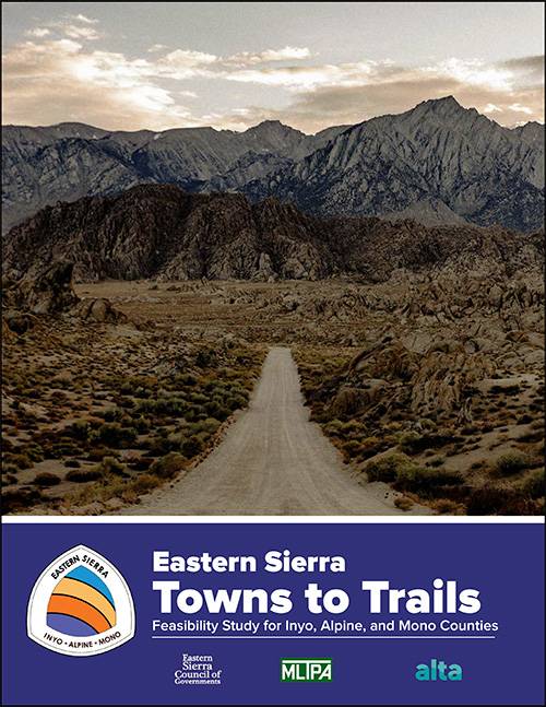
Towns to Trails Plan

Project Description: The Eastern Sierra Towns to Trails Plan built upon existing trail infrastructure in the region to identify a multi-use network that will connect Eastern Sierra communities to each other and to public lands. From northern Alpine County through Mono County and into southern Inyo County (a distance of approximately 200 miles), the plan takes advantage of existing priorities for trail connectivity already developed by federal land managers along with stakeholder ideas generated through the “Recreation Stakeholders” track of the SRTI.
The trail network will cross multiple jurisdictions and lands managed by multiple entities, including the Humboldt-Toiyabe National Forest, Inyo National Forest, Bureau of Land Management, and the Los Angeles Department of Water and Power. The planning process featured county by county collaborative planning efforts that included tribes, relevant land managers, stakeholders, and local agencies. MLTPA worked with Alta Planning + Design on this grant funded project that was managed by the Eastern Sierra Council of Governments.
This project was identified by the Sustainable Recreation & Tourism Initiative as one of eight regional sustainable recreation projects recommended for implementation.
TOWNS TO TRAILS FINAL REPORT
The Towns to Trails Planning Team collected existing conditions data; engaged with partners, stakeholders, and the public; developed potential alignments; analyzed network gaps; and field-verified the final route to evaluate the feasibility of creating a regional trail using existing infrastructure.
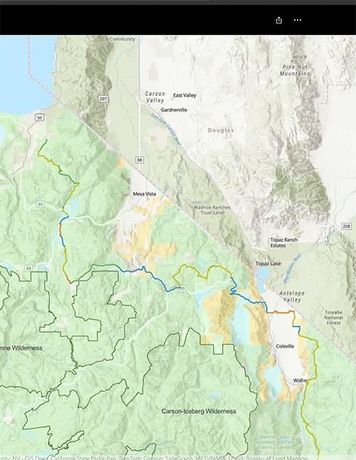
TOWNS TO TRAILS PROPOSED ALIGNMENT
Click here to view the Towns to Trails Alignment as an ArcGIS Storymap.
Towns to Trails Plan Project Website
The Eastern Sierra Towns to Trails Plan is a multi-jurisdictional effort to connect Eastern Sierra communities to each other and to public lands throughout the region. Public participation is encouraged!
TOWNS TO TRAILS PLAN PROJECT OVERVIEW VIDEO
Watch the Eastern Sierra Towns to Trails Plan overview video from 2023.
Eastern Sierra Council of Governments Webpage
The Trails Plan will identify existing trails and other soft surface infrastructure networks for the development of a trail network paralleling the Pacific Crest Trail from Lone Pine to Markleeville and beyond.
ESSRP Project Recommendation for Towns to Trails Plan
In 2020-21, the SRTI identified a diversified collection of eight developed and funding-ready projects through a collaborative approach. "T2T" is one of those projects. In 2022 the ESCOG was awarded a grant from the Sierra Nevada Conservancy.
SRTI Final Recommended Projects
Members of the Eastern Sierra Sustainable Recreation Partnership (ESSRP) worked collaboratively in facilitated sessions to identify the components of a portfolio of projects eligible for funding via local and “out-of-region” financial opportunities.
Last updated May 29, 2025