
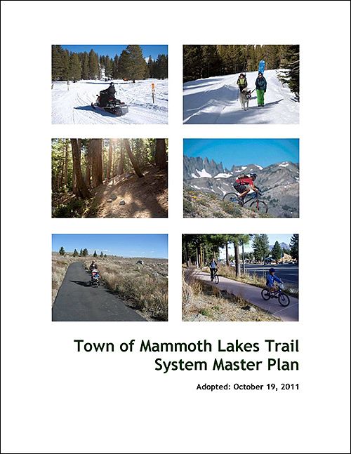
Trail System Master Plan – 2011

Project Description: Welcome to MLTPA's download page for the Town of Mammoth Lakes Trail System Master Plan (TSMP) which was adopted by the Town of Mammoth Lakes in 2011. The TSMP updated the Town’s 1991 Trails Plan and is the result of the Concept and Master Planning, or CAMP, process initiated by MLTPA in 2007. The adopted final draft of the TSMP includes input from close to a thousand public comments from more than 60 individual respondents to drafts of the final plan, circulated for public comment in the late summer of 2008. For more information on CAMP, including the CAMP: SUMMER and CAMP: WINTER public meetings, the Planning Proposal that initiated the trails planning process, and MLTPA’s SNC grant funding in support of the CAMP process, download and review the documents and links on this page.
Project Update: The Trail System Master Plan (TSMP) was adopted by the Mammoth Lakes Town Council on October 19, 2011 along with the certification of its EIR. The links below allow you to download the final draft of the plan as either one large file or as individual components. There are also links to download important supplemental attachments and appendices and to visit other MLTPA web pages with more information on the trails planning effort. Note that because the maps associated with the plan are formatted for printing at 11 x 17 inches, you may want to download them separately. We have provided links for that purpose.

Town of Mammoth Lakes Trail System Master Plan Web Page
Visit the "Trail System Master Plan" web page maintained by the Town of Mammoth Lakes which includes documents associated with the "Final Trail System Master Plan" and all of the CEQA documents associated with the Trail System Master Plan.
Trail System Master Plan Complete – 2011
Download the complete Trail System Master Plan for electronic viewing. This download includes all maps and exhibits.
Trail System Master Plan (Without Maps) - 2011
Download a version of the Trail System Master Plan that does not include any maps. This version is a much smaller file than the full version and is optimized for electronic viewing.
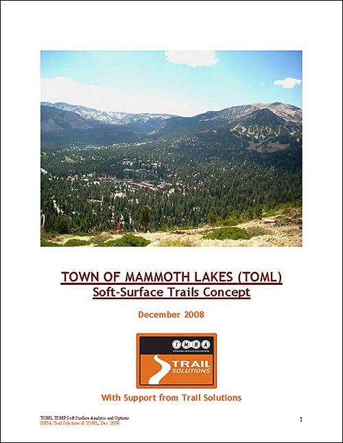
Attachment A: Soft Surface Trail Concepts
Attachment A of the Trail System Master Plan was drafted by IMBA’s “Trail Solutions” under contract to the Town. The document was reviewed by the USFS and their comments were incorporated into the final draft.

Attachment B: Sherwin Area Trails Special Study (SATSS)
MLTPA and the Town of Mammoth Lakes, working with Alta Planning and Design, identified trail alignments, recreational activities and public access in the Sherwins study area which served as baseline data for the "Sherwins Working Group (SWG)" and the "Sherwins Area Recreation Plan (SHARP)".

Attachment C: Sherwins Recreation Plan (SHARP)
After nine months of dedicated effort and broad collaboration, the Sherwins Working Group (SWG) produced the Sherwins Area Recreation Plan, or SHARP, which details proposals for summer and winter recreation alternatives for implementation in the Sherwins area.
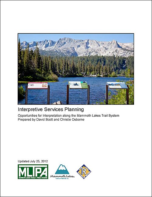
Attachment D: Interpretive Services Planning
In the summer of 2011, MLTPA contracted with local interpretive specialists to prepare and deliver a report and presentation on the opportunities available for interpretive programming on the Mammoth Lakes Trail System (MLTS).
TRAIL SYSTEM MASTER PLAN ENVIROMENTAL IMPACT REPORT - 2011
Review the final draft and the documents, maps and historic research reports used in creation of the final adopted Environmental Impact Report (EIR) for the Trail System Master Plan.
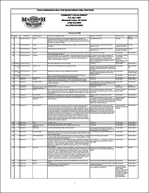
Draft Trail System Master Plan Public Comments and Reply - 2009
Download and review this detailed summary of all 965+ comments received by Town staff in 2009 on the Draft Trail System Master Plan, plus the staff's recommendations to the project consultants. All 965+ comments were accounted for!
Town of mammoth lakes TRAILS PLAN - 1991
Download the Town of Mammoth Lakes Trails Plan from 1991, the first and original Trails Plan for the Town. Ideas and concepts from the 1991 Trails Plan were incorporated and brought forward into the Trail system Master Plan as adopted in 2011.
Trail System Master Plan (2011): By Chapter with 11 x 17 inch maps
Executive Summary
Chapter 1: Vision, Goals & Objectives
Chapter 2: Existing Conditions
Chapter 3: Needs Analysis
Chapter 4: Future Trail System Recommendations
Chapter 5: Signage & Wayfinding
Chapter 6: Design Guidelines
Chapter 7: Operations and Maintenance
Chapter 8: Implementation Strategy - Costs & Funding
Chapter 9: Benchmarking and Evaluation
Glossary of Terms
Trail System Master Plan (2011): Individual Maps and Figures
Map 1-1: 1991 Trail System Master Plan
Map 2-1: Jurisdiction Map
Map 2-2: Summer Recreation Nodes
Map 2-3: Winter Recreation Nodes
Map 2-4: Summer Bikeways and Trails
Map 2-5: Winter Bikeways and Trails
Map 2-6: Summer Pedestrian Facilities
Map 2-7: Winter Pedestrian Facilities
Map 2-8: Summer Existing Trails
Map 2-9: Shady Rest Existing Winter Use
Map 4-1: Summer Recreation Nodes
Map 4-2: Winter Recreation Nodes
Map 4-3: Summer Bikeways and Trails
Map 4-4: Winter Bikeways and Trails
Map 4-5: Summer Pedestrian Facilities
Map 4-6: Winter Pedestrian Facilities and Trails
Map 4-7: Summer Rec and 1991 Trails
Map 4-8: Shady Rest Winter Recreation
Fig 7-1: Snow Management Equipment
Map 8-1: Project Number Map
Trail System Master Plan (2011): Appendicies
The following supplemental documents make up the complete two-volume set of the Trail System Master Plan (2011). PLEASE NOTE THAT THESE FILES ARE EXTREMELY LARGE AND MAY TAKE CONSIDERABLE TIME TO DOWNLOAD. Please note also that Appendix A has been renamed Attachment A.
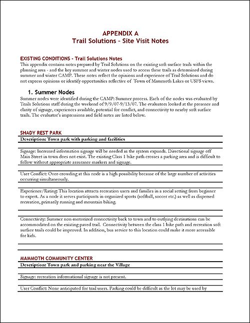
Appendix A - Appendecies
Download and review "Appendix A - Appendices" which are the field notes IMBA’s “Trail Solutions” planners compiled under contract to the Town to create “Attachment A: Soft Surface Trail Concepts”. "Attachment A: Soft Surface Trail Concepts" can be downloaded by clicking on the link higher up on this page.

Appendix B: CAMP: Public Comment Documentation
MLTPA collected all public comment received during the "CAMP: SUMMER" and "CAMP: WINTER" events save for data and information provided directly to the consultants during scheduled sessions and through the Online Trail Surveys.
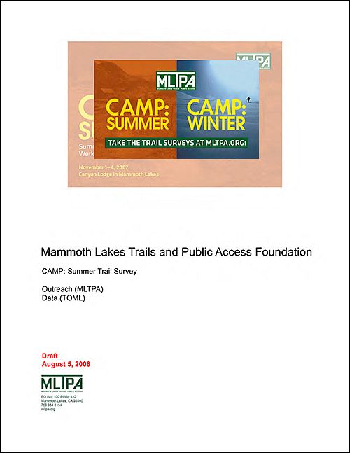
Appendix C: CAMP: Summer Trail Survey
The Summer Online Trail Survey ran from October 27, 2007, to March 14, 2008, and was completed by 330 people.
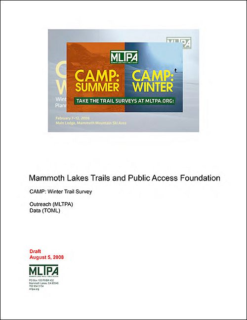
Appendix D: CAMP: Winter Trail Survey
The Winter Online Trail Survey ran from December 18, 2007, to March 14, 2008, and was completed by 316 people.
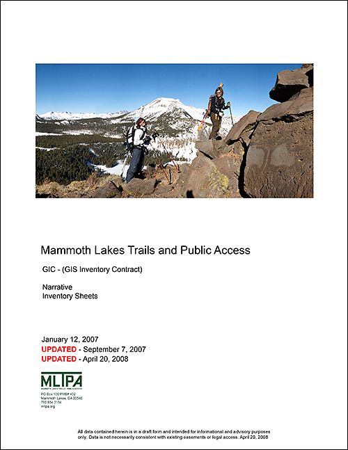
Appendix E: MLTPA GIC - Updated April 20, 2008
The Town of Mammoth Lakes awarded MLTPA a contract to survey points of public access in and around the Town and produce an inventory that the Town could incorporate into its existing GIS database. This report is a collection of the analog field sheets created for each identified point of public access.
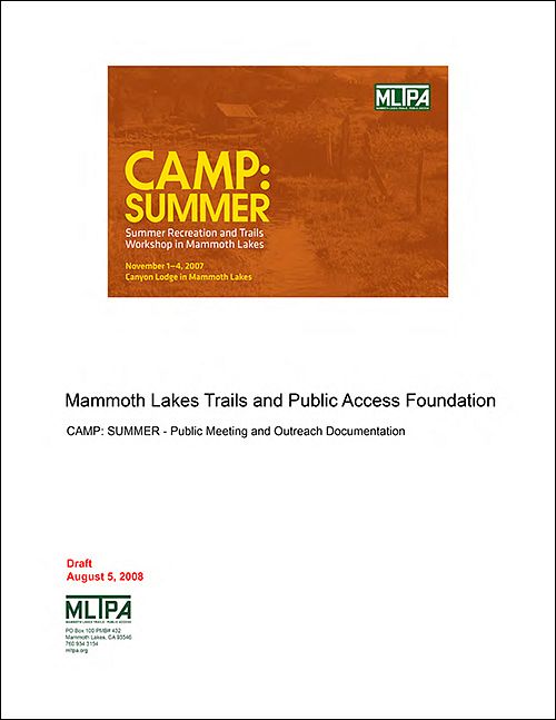
Appendix F: CAMP: SUMMER - Public Meeting and Outreach
CAMP: SUMMER - a free, public event designed to solicit and record input from the community regarding recreation, trails, public access - was staged at Mammoth Mountain Ski Area’s Canyon Lodge November 1-4, 2007.
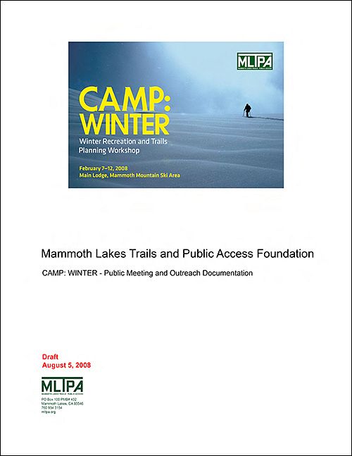
Appendix G: CAMP: WINTER - Public Meeting and Outreach
CAMP: WINTER - a free, public event designed to solicit and record input from the community regarding recreation, trails, public access - was staged at the Mammoth Mountain Ski Area (MMSA) Main Lodge February 7 - 12, 2008.